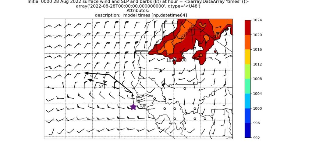
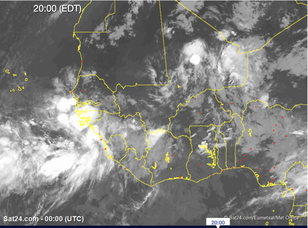
Strong convection continues to build off the coast of Guinea Bissau tonight. Based on WRF model forecast, the conditions should continue worsen leading to potential flooding. After there are two possibilities, the model will carrie the storm towards the northwest or it will go north and then hook west.

Two primary concerns in the next 24 hours
While Tropical cyclone development impact is a concern, there are more immediate concerns:
(1) Inland flooding along Senegal (including Dakar), Gambia, Guinea Bissau, and Guinea from heavy rainfall. Global models and WRF depict heavy rainfall over the next week, with a significant amount of it coming over the next 48 hours followed by a second round later this week..
The second threat is dangerous seas and coastal flooding, especially in Senegal and the Gambia. If the storm winds up as forecasted it would produce a very strong southerly fetch causing water to build up against the coastline and causing lots of flooding. Such a manifestation would begin sometime Monday, August 29 and last through Wednesday/Thursday even as the storm pulls away.
WRF simulated sea level pressure and 2 meter winds.
Cabo Verde on Notice
It is still too early to determine a track or any negative impacts on Cabo Verde. The WRF model has continued to develop a tropical storm for the last 3 days at 1200 UTC. Because of the size of the Islands, tropical cyclone track forecasts are too difficult to predict this far out. Let’s hope that it remains a weak system as the global models are suggesting.
I will continue to monitor, forecast, and talk with my colleagues in West Africa and Cabo Verde. If you live in potential impact zones, please stay aware of rapidly changing conditions. The National Hurricane Center has not yet identified this as a threat but may tomorrow.
Be Safe
